William and Yvonne Jacobson Digital Africana Program

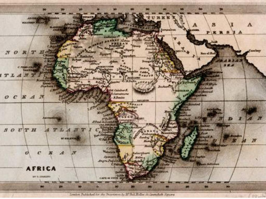
Small coloured map of Africa showing North and South Atlantic and Indian Oceans, place names, rivers and political borders of the different countries and territories, 1983.
+-1500 paper and linen-based maps scanned
Through this collaborative initiative between Stanford University Library and UCT Libraries, African historical maps held in Special Collections have been digitised and made accessible via UCT Libraries, as well as Stanford University’s digital repositories.