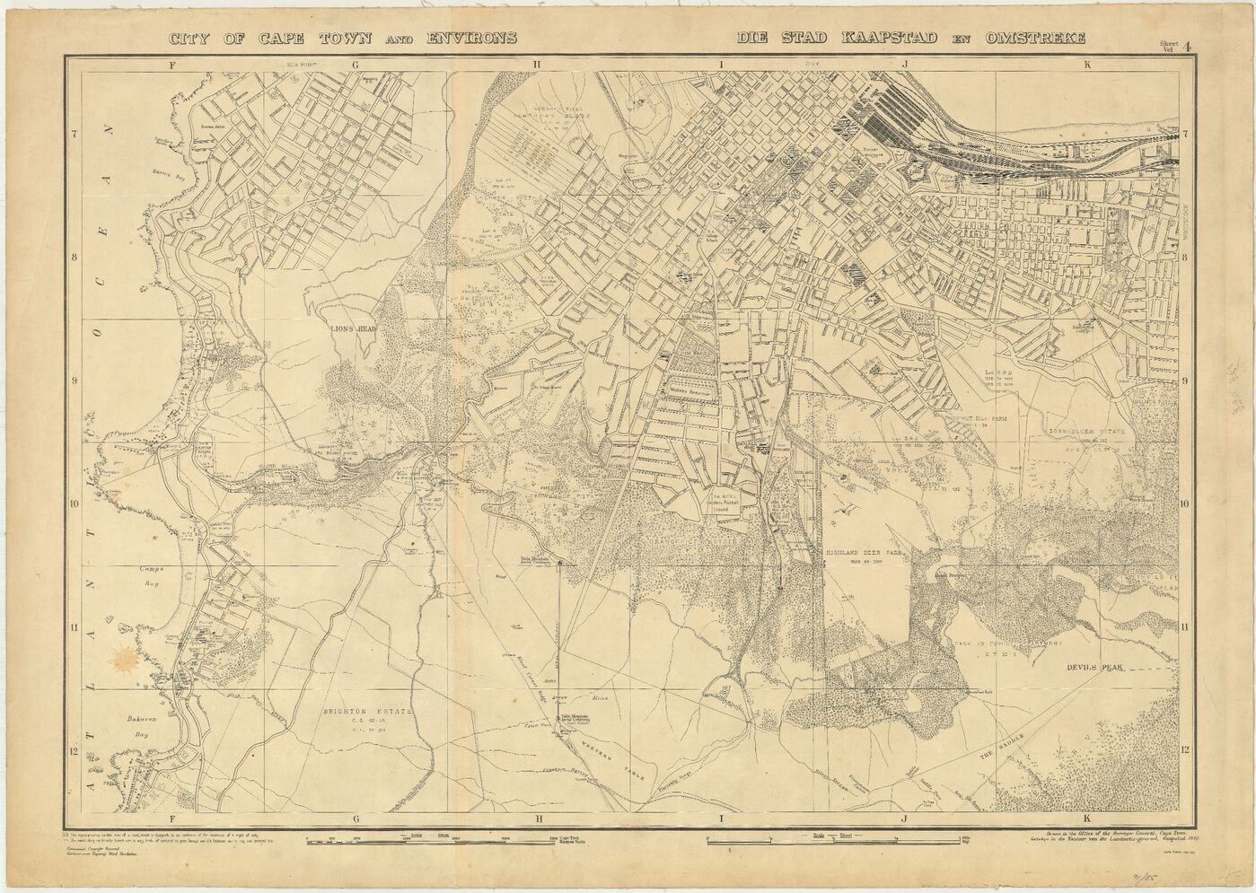
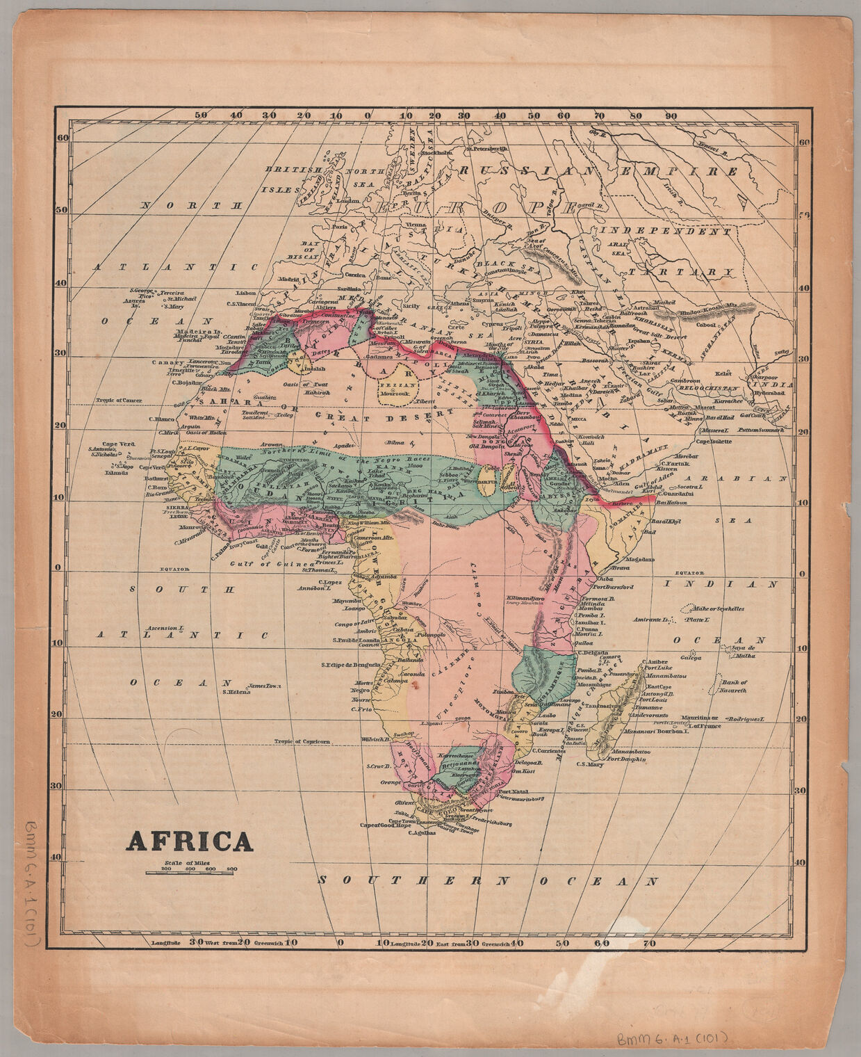
Special Collections has a wide selection of cartographic material including over 5 000 published African maps covering a range of topics and eras as well as a wide selection of cartographic material from officially produced atlases to valuable hand-drawn maps in personal manuscript collections.
Maps can illuminate social and historical research problems in unexpected and even startling ways by visualising data in a beautiful and unique manner to reveal unseen links between phenomena. Cartographic material can graphically illustrate spatial relationships that provide new approaches to thinking about class structures or trade patterns or can provide insight into the ways our ancestors saw and interpreted the world.
Atlas and map books
In the years before digital global positioning technology, atlases and map books were essential to any adventure.
Special Collections has many remarkable atlases in its holdings including the Africa volume of the wonderful Grote Atlas van de Verenigde Oost-Indische Compagnie compiled by Bea Brommer and the Atlas of the Union of South Africa, an unprecedented collection of 600 hand-drawn black and white maps, compiled by Professor William Talbot, the first professor of Geography at the University of Cape Town.
The African Studies Book Collection also has many historical and contemporary road maps and town plan books in its holdings.
African Studies Book Collection
Government Publications
The official maps prepared by government departments are some of South Africa’s cartographic gems.
The Government Publications Department of Special Collections has a plethora of such maps dating back to the earliest days of the Cape Colony, including those accompanying reports in the historic Annexures to the Votes & Proceedings of the House of Assembly.
The Talbot Collection

Professor William John Talbot (1908-1985) - the first professor of Geography at UCT - was responsible for establishing the Talbot Map Collection at the University of Cape Town.
This large collection includes:
- Historical maps of the African continent
- Various maps of African countries
- Early maps of the Cape of Good Hope
- Valuable military maps used during the Anglo-Boer war
World War II: Maps and the South African Military
For many years the collection was considered the most comprehensive topographical map collection in South Africa - so much so that in the build-up to WWII, the South African Military commandeered several maps from the collection for planning strategic military operations in French North Africa. The collection was donated to Special Collections where it has undergone conservation. It is stored with the existing map collections in our environment-controlled facilities.
The William and Yvonne Jacobson Digital Africana Program
The program facilitated a collaborative partnership between the University of Cape Town and Stanford University in 2015.
A selection of African historical maps housed at each institution was digitised and made available on ibali, UCT's Digital Collections website and on the Maps of Africa exhibition at Stanford Libraries. Included are African maps from the Dr. Oscar I. Norwich Collection which are available from the Stanford University Collection.
William and Yvonne Jacobson Digital Africana Program Showcase


